The Rockpile Overview
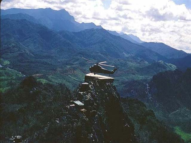
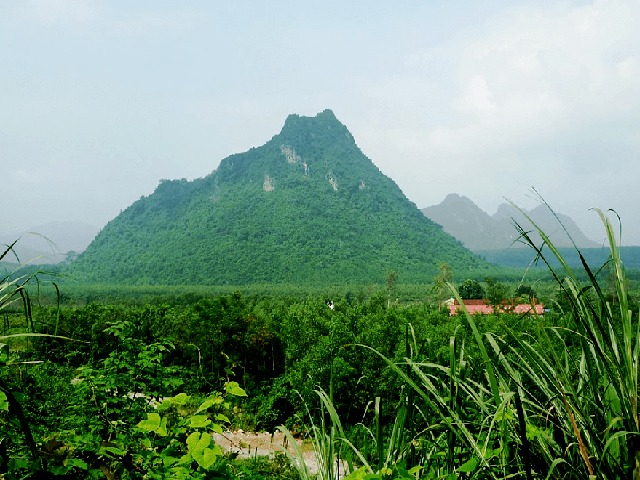
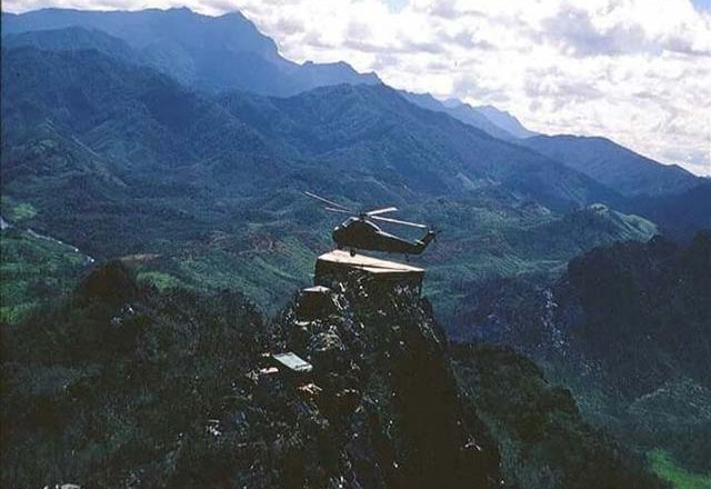
The Rockpile is a 230-metre-high mound of rock that was an important US Marine observation post for Highway 9 and the DMZ. The infrastructure was built in 1966. Twelve troops were stationed there with all supplies brought in by helicopter.

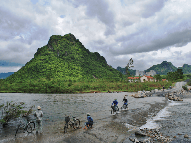
The Rockpile can be seen from the road on Highway 9 – travel west from Highway 1 in Dong Ha and stop at 28.5 kilometres. Unless you’ve seen photos of it before, you’ll likely need a guide to point it out to you. For DMZ tours, it’s usually a quick stop along the way to Khe Sanh Marine Base.
Originally built by the French, West-East corridor Highway 9 follows along the demilitarised zone, the boundary between north and south. Its location on the northern edge of South Vietnam meant it was of strategic importance for the Americans to stop the Ho Chi Minh Trail supply lines (though the North Vietnamese simply skirted around into Laos and Cambodia). The misguided high-tech barrier plan the “McNamara Line” included bases Dong Ha, Con Thien and Khe Sanh Marine Base along Highway 9 that could overlook NVA infiltration routes. Control of the highway was necessary to move supplies to the bases.

There are still signs of intense defoliation wrought by Agent Orange, herbicide used to expose the Ho Chi Minh Trail. From a tank of orange chemical in the sky, it blanketed the trees, went into the soil, seeped into the water and into the genes of generations to come. Quang Tri province also suffers the highest unexploded ordinance (UXO) contamination in the country, with more than 8,000 recorded accidents since the end of the war. Several mine clearance organisations work in this area; we saw MAG International vehicles along Highway 9. When it comes to the DMZ, stay on the beaten track.

The Rockpile Map
How to get Rockpile?
You can get The Rockile by a taxi from Quang Tri Center. But If you stay at Hue, you should book the DMZ Tour Hue from Hue to Hoi An Jeep Tour. This is the best way to visit this site and hear the deep history of Vietnam War.

